Uitenhage Airport

Information about airport - Uitenhage Airport, South Africa

Description Value
IATA
(International Air Transport Association airport code)
No IATA code
Type Small airport
Local airport code -
GPS airport code FAUH
Longitude -33.7853012084961
Latitude 25.38330078125

Cities near Uitenhage Airport, South Africa

City, country Distance (km)
Port Elizabeth 27.64 km
Jeffreys Bay 52.63 km

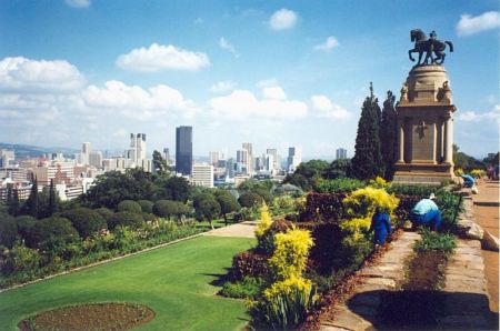
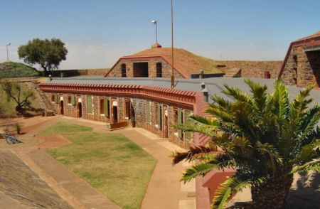
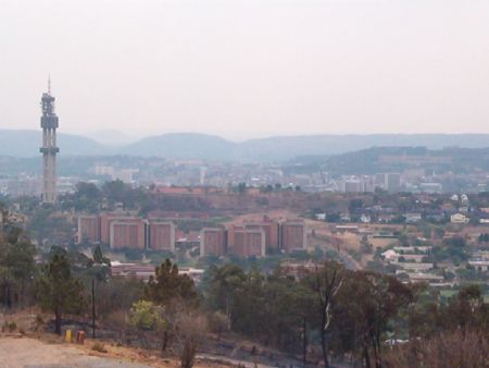
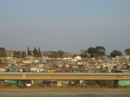
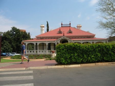
Pictures near Uitenhage Airport, South Africa

Uitenhage Rooikrans Picknick Site Lightning lighting up Groot Winterhoek Range - 9 April 2007 - Taken from Winterhoek Park to North West Groot Winterhoek Foothills Sun setting over Uitenhage
 
Riebeek College Girls' High School Volkswagen street in Uitenhage Blindekloof pool Opposite of VW
 
Uitenhage PE Southafrica, Industrial Area Rehau - Plant Uitenhage Township Groendal Wilderness trail View from the mountains behind Uitenhage
 
Nyala Bull Bushbuck Ram Art Deco Architacture Uitenhage
 

Pictures of Uitenhage Airport