Distance from Manitou Springs, CO to Mesa, AZ
Distance information from Manitou Springs, CO, United States (USA) to Mesa, AZ
Geographical distance from Manitou Springs, CO to Mesa, AZ 868.44 kilometers
539.03 seven miles
468.68 nautical miles
Road distance from Manitou Springs, CO to Mesa, AZ
Distance on the map From Manitou Springs, CO, United States (USA) to Mesa, AZ
Closest distances from Manitou Springs, CO, United States (USA)
| City | Distance |
| Colorado Springs, CO | 7.47 km |
| Pueblo, CO | 70.59 km |
| Denver, CO | 98.59 km |
| Fort Collins, CO | 188.36 km |
| Grand Junction, CO | 318.73 km |
| Santa Fe, NM | 364.82 km |
| Farmington, NM | 373.32 km |
| North Platte | 433.57 km |
| Albuquerque, NM | 446.07 km |
| Provo | 602.73 km |
| Roswell, NM | 608.59 km |
| Salt Lake City | 633.89 km |
| Lubbock TX | 646.85 km |
| Wichita KS | 674.25 km |
| Wichita, KS | 674.95 km |
| Hobbs, NM | 701.83 km |
| Carlsbad, NM | 717.6 km |
| Manhattan, KS | 718.15 km |
| Lincoln, NE | 733.48 km |
| Oklahoma City, OK | 757.64 km |
| Wichita falls | 794.43 km |
| Topeka, KS | 796.14 km |
| El Paso, TX | 802.52 km |
| Midland, TX | 803.13 km |
| Omaha, NE | 805.07 km |
| Juarez | 809.58 km |
| Odessa, TX | 811.68 km |
| Billings, MO | 826.02 km |
| Tulsa, OK | 842.35 km |
| Miles City, MO | 843.55 km |
Select city to calculate distance from Manitou Springs, CO, United States (USA)
Check distances from Mesa, AZ
| City | Distance |
| Phoenix, AZ | 22.72 km |
| Tucson, AZ | 156.03 km |
| Nogales | 246.24 km |
| Nogales | 248.93 km |
| San Luis Rio Colorado | 297.09 km |
| Caborca | 300.53 km |
| Mexicali | 349.32 km |
| Indio, CA | 408.66 km |
| Las Vegas, NV | 428.95 km |
| Hemet, CA | 477.89 km |
Do you have a travel question?
Ask your question about travel on our Forum
Ask your question about travel on our Forum

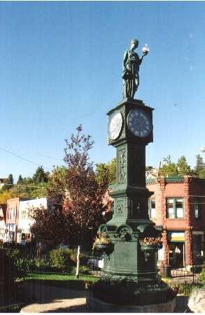
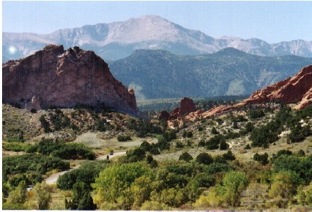
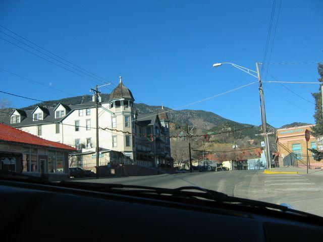
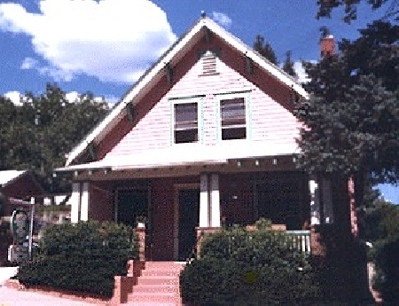
Informative materials - Manitou Springs, CO
Informative materials - United States (USA)
Photo gallery
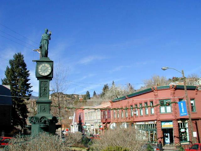
United States (USA), Manitou Springs, CO