Antwerp International Airport (Deurne) (ANR)
Information about airport - Antwerp International Airport (Deurne), Belgium
|
Cities near Antwerp International Airport (Deurne), Belgium
| City, country | Distance (km) |
| Antwerp | 5.06 km |
| Brussels | 39.28 km |
| Aalst | 40.59 km |
| Breda | 49.54 km |
| Gent | 53.82 km |
| Tilburg | 60.14 km |
| Enghien | 62.65 km |
| Middelburg | 67.02 km |
| Dordrecht | 68.25 km |
| Eindhoven | 74.65 km |
| La Louviere | 81.47 km |
| Rotterdam | 81.62 km |
| Hertogenbosch | 82.08 km |
| Namur | 85.45 km |
| Bruges | 85.97 km |
| Charleroi | 86.54 km |
| Delft | 90.47 km |
| Gouda | 93.66 km |
| Maastricht | 95.05 km |
| Zoetermeer | 96.32 km |
| The Hague (s-Gravenhage) | 98.13 km |
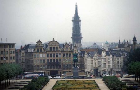
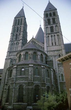
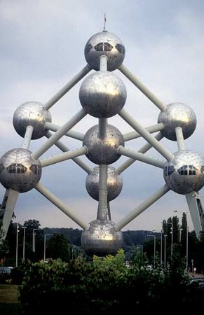
Pictures near Antwerp International Airport (Deurne), Belgium


Do you have a travel question?
Ask your question about travel on our Forum
Ask your question about travel on our Forum