UZA heliport
Information about airport - UZA heliport, Belgium
|
Cities near UZA heliport, Belgium
| City, country | Distance (km) |
| Antwerp | 6.75 km |
| Brussels | 35.1 km |
| Aalst | 35.48 km |
| Gent | 49.48 km |
| Breda | 54.46 km |
| Enghien | 57.72 km |
| Tilburg | 65.26 km |
| Middelburg | 66.1 km |
| Dordrecht | 72.71 km |
| La Louviere | 77.06 km |
| Eindhoven | 79.34 km |
| Bruges | 82.68 km |
| Charleroi | 82.84 km |
| Namur | 83.22 km |
| Rotterdam | 85.43 km |
| Hertogenbosch | 87.19 km |
| Delft | 94.01 km |
| Maastricht | 96.95 km |
| Gouda | 98 km |
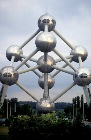
Pictures near UZA heliport, Belgium


Do you have a travel question?
Ask your question about travel on our Forum
Ask your question about travel on our Forum