Hôpital Pasteur Heliport

Information about airport - Hôpital Pasteur Heliport, France

Description Value
IATA
(International Air Transport Association airport code)
No IATA code
Type Heliport
Local airport code -
GPS airport code
Longitude 48.0750007629395
Latitude 7.3380560874939

Cities near Hôpital Pasteur Heliport, France

City, country Distance (km)
Basel 60.45 km
Strasbourg 63.86 km

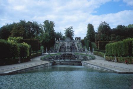
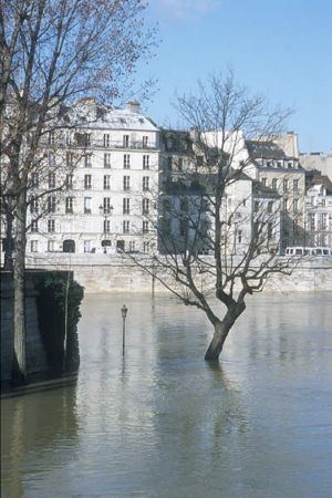
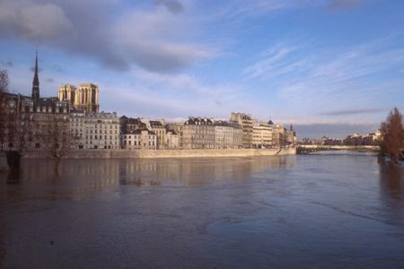
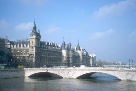
Pictures near Hôpital Pasteur Heliport, France

Schief und bunt   .  .  {a.r} Vorgesorgt #28 May the road rise to meet you...{a.r} Vœgtlinshoffen -  Bacchus alsacien -  L'ALSACE - La Route des vins-- (by FranciscoGC) arrivée à Eguisheim
 
Regenbogen richtung Eguisheim 2 Voegtlinshoffen linker Hand Contraste Comlar in colors 2 Kientzheim Statue of Liberty in Colmar
 
L'Alsace fleurie. Sonne knapp über Niederhergheim F / Turckheim (Alsace) Blüten mitten in der Französischen City Colmar vineyard in autumn
 
Blick nach Deutschland über Eguisheim Sale el SOL en la ALSACIA Colmar - view from Pasteur Hospital Along the Route De Vins near Colmar, France .. Hunavhir : centre de réintroduction des cigognes
 

Pictures of Hôpital Pasteur Heliport