Antersberg Airfield

Information about airport - Antersberg Airfield, Germany

Description Value
IATA
(International Air Transport Association airport code)
No IATA code
Type Small airport
Local airport code -
GPS airport code
Longitude 47.9629
Latitude 11.9955

Cities near Antersberg Airfield, Germany

City, country Distance (km)
Munich 36.63 km
Salzburg 80.36 km
Innsbruck 90.15 km
Augsburg 93.03 km

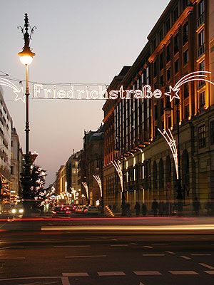
Pictures near Antersberg Airfield, Germany

Augustiner: Wallfahrtskirche Weihenlinden ++ Pilgrimage Weihenlinden from 1653 Voralpenland Alsterloh/Großkarolinenfeld  Bavaria/Germany Weg zum Himmel ++ Way to heaven Fly to the sky - the king of the skies An evening sky like a rainbow.........
 
Maxlrain/Bayern - Bavaria  - view to the alps 150 Jahre Maximiliansbahn (16) Basylika Tuntenhausen Bavaria from a plane Grafing-náměstí
 
Abenddämmerung in Heufeld Blick nach Weihenlinden 8033-T-Bad Aibling - Bahnhofstraße - An der Glonn Neuhäusler Hund Field Station F-81 des Echelon Systems
 
Luftbild Mailling Bayerische Hausberge mit Wendelstein Blue Landscape Winterlandschaft Schönau im Morgennebel, im Hintergrund die schlafende Jungfrau
 

Pictures of Antersberg Airfield