Landstuhl Army Heliport

Information about airport - Landstuhl Army Heliport, Germany

Description Value
IATA
(International Air Transport Association airport code)
No IATA code
Type Heliport
Local airport code -
GPS airport code ETIP
Longitude 49.4030555556
Latitude 7.53611111111

Cities near Landstuhl Army Heliport, Germany

City, country Distance (km)
Mannheim 68.75 km
Karlsruhe 76.83 km
Wiesbaden 90.55 km
Strasbourg 92.63 km

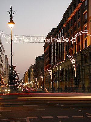
Pictures near Landstuhl Army Heliport, Germany

Landschaft der Pfalz Sprengplatz Schrollbach 1 / 2 Wind Turbines TRAFICO AEREO EN ALEMANIA JULIO 2006. MUNDIAL DE FUTBOL Elendsklamm bei Bruchmühlbach
 
Niedermohr Katholische Kirche Pferderennbahn MATZENBACH: Klasse 1 und 2 / Class 1 and 2 • 1948 Blick auf Bruchmühlbach
 
railroadsiding near miesau railroadbridge over a6 Gasthaus zur Post (hat bestimmt auch bessere Zeiten erlebt) Sun through the trees near Landstuhl Weselberger Steel Dairy Cow Statue
 
Panorama Rehweiler Matzenbach rechts mit Potzberg Tennis, Boule and Handball Courts Gasthaus Kurz (Restaurant) Landstuhler Bruch
 

Pictures of Landstuhl Army Heliport