Landstuhl Regional Medical Center Helipad
Information about airport - Landstuhl Regional Medical Center Helipad, Germany
|
Cities near Landstuhl Regional Medical Center Helipad, Germany
| City, country | Distance (km) |
| Mannheim | 67.14 km |
| Karlsruhe | 75.46 km |
| Wiesbaden | 89.71 km |
| Strasbourg | 92.32 km |
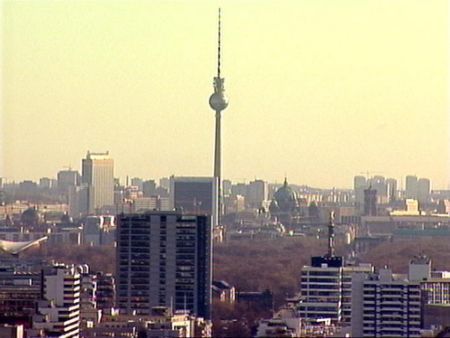
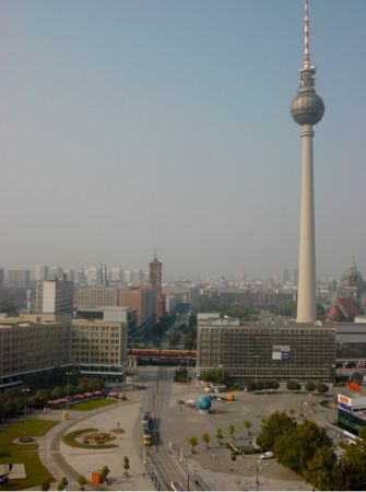
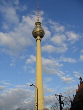
Pictures near Landstuhl Regional Medical Center Helipad, Germany


Do you have a travel question?
Ask your question about travel on our Forum
Ask your question about travel on our Forum