Mafoota Airstrip

Information about airport - Mafoota Airstrip, Jamaica

Description Value
IATA
(International Air Transport Association airport code)
No IATA code
Type Small airport
Local airport code -
GPS airport code
Longitude 18.3717339749
Latitude -77.8932595253

Cities near Mafoota Airstrip, Jamaica

City, country Distance (km)
Montego Bay 11.59 km
Negril 49.41 km

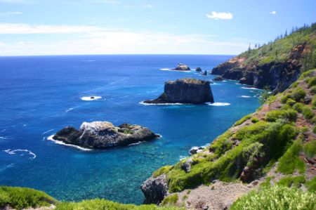
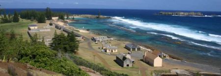
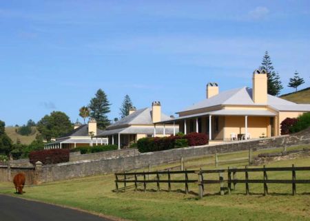
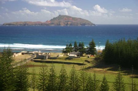
Pictures near Mafoota Airstrip, Jamaica

Montego Bay Dolphins in Jamaica  http://www.goplanettravel.blogspot.com/ Bethel Town Church Flamstead Gardens SDA Church
 
Point Signs. House at Kensington Rain Tubing, end point.
 
montego bay Montego Bay Sports Complex under construction (Nov. 2009) Welcome to Bethel Town Mount Carey Baptist Church Mt. Edmonson Methodist Church
 
St. Agnes Roman Catholic Church Welcome to Mocho, St. James, Jamaica Peeking into the Great River. Growing up, I remember this being one of the nicer houses in its time. View of Montego Bay from Malcolm Drive, Reading, St. James overlooking the Bogue Islands.
 

Pictures of Mafoota Airstrip