Seppe Airport
Information about airport - Seppe Airport, Netherlands
|
Cities near Seppe Airport, Netherlands
| City, country | Distance (km) |
| Breda | 16 km |
| Dordrecht | 27.37 km |
| Tilburg | 35.99 km |
| Antwerp | 39.06 km |
| Rotterdam | 41.44 km |
| Delft | 51.24 km |
| Gouda | 52.55 km |
| Hertogenbosch | 55.19 km |
| Zoetermeer | 55.8 km |
| The Hague (s-Gravenhage) | 59.32 km |
| Eindhoven | 63.81 km |
| Middelburg | 64.23 km |
| Leiden | 67.23 km |
| Utrecht | 70.97 km |
| Aalst | 77.35 km |
| Gent | 80.37 km |
| Brussels | 80.41 km |
| Hoofddorp | 83.39 km |
| Hilversum | 85.85 km |
| Amersfoort | 89.17 km |
| Haarlem | 92.17 km |
| Amsterdam | 93.64 km |
| Ede | 94.32 km |
| Nijmegen | 94.87 km |
| Bruges | 99.72 km |
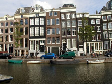
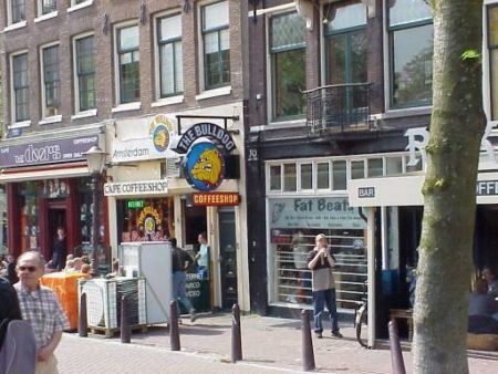
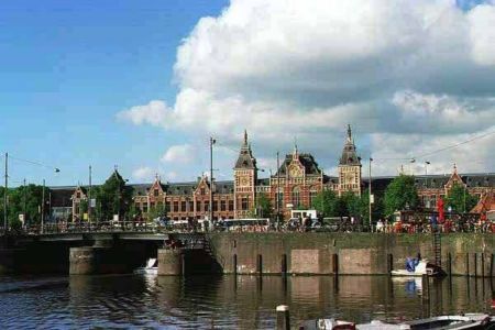
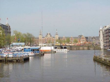
Pictures near Seppe Airport, Netherlands


Do you have a travel question?
Ask your question about travel on our Forum
Ask your question about travel on our Forum