Bay of Islands Hospital Heliport

Information about airport - Bay of Islands Hospital Heliport, New Zealand

Description Value
IATA
(International Air Transport Association airport code)
No IATA code
Type Heliport
Local airport code -
GPS airport code NZJI
Longitude -35.3858337402344
Latitude 174.070281982422

Cities near Bay of Islands Hospital Heliport, New Zealand

City, country Distance (km)
Paihia 11.35 km
Russell 14.74 km
Kerikeri 20.56 km

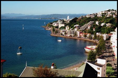
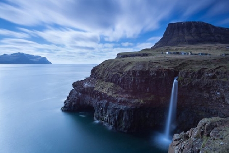
Pictures near Bay of Islands Hospital Heliport, New Zealand

Friedensreich Hundertwasser's Architecture in New Zealand 2005 New Zealand:  Sky in Paihia A Grey Morning, Bay Of Islands Dec 2006 Kawakawa to Paihia Scenic Railway, headed by 'Gabriel' (historic picture, 1992)
 
Grass, Flax and Bush, near Kawakawa Up to the Pa Pretty Colours, near Kawakawa, New Zealand
 
Otiria Little boats, Bay Of Islands, North Island, New Zealand 1997 Flock of sheep, North Island, New Zealand 1997 Oyster Boat
 
New Zealand - Campground "Ocean Paradise" - View on the Bay 2 Maromaku, North Island, New Zealand
 

Pictures of Bay of Islands Hospital Heliport