Te Aroha Airfield

Information about airport - Te Aroha Airfield, New Zealand

Description Value
IATA
(International Air Transport Association airport code)
No IATA code
Type Small airport
Local airport code -
GPS airport code NZTA
Longitude -37.4747009277344
Latitude 175.61799621582

Cities near Te Aroha Airfield, New Zealand

City, country Distance (km)
Rotorua 92.4 km
Auckland 99.9 km

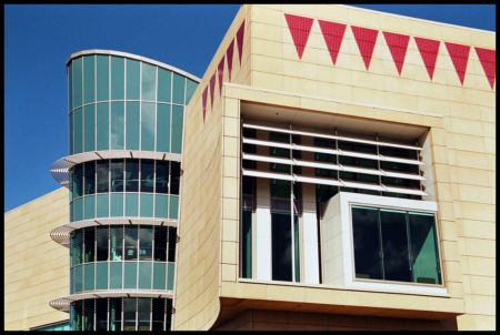
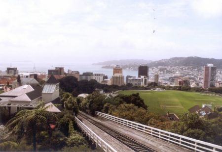
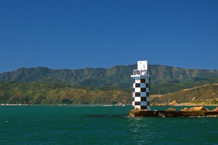
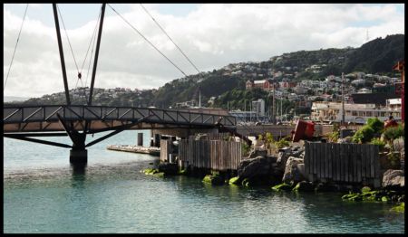
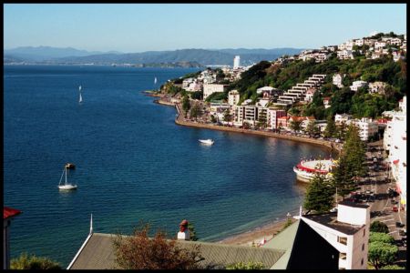
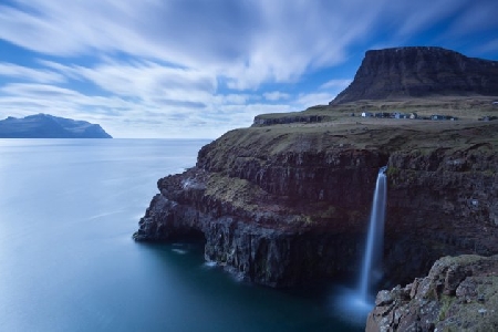
Pictures near Te Aroha Airfield, New Zealand

Te Waihou River The L&P bottle L&P Bottle, Paeroa The Mokena Geyser on a lackluster day Mt. Te Arona
 
Kopuatai peat dome Flooding Rail Trail Wet farmland Stock underpass
 
Amenities Water on rock Brown bushes Kaimai Ranges Rainbow on the Rail Trail
 
Brown trees Te Moana Flats North of Te Aroha Mike's Mai Mai Karangahake Mountain - Trig Track
 

Pictures of Te Aroha Airfield