Asapa Airport (APP)

Information about airport - Asapa Airport, Papua New Guinea

Description Value
IATA
(International Air Transport Association airport code)
APP
Type Small airport
Local airport code APA
GPS airport code
Longitude -8.97916666667
Latitude 148.103611111

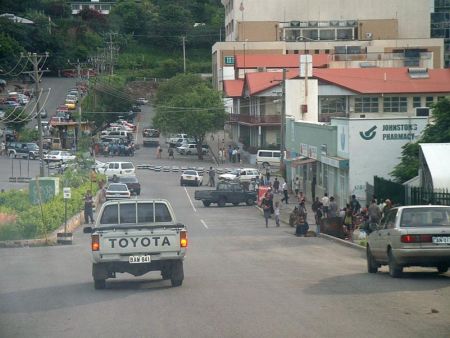
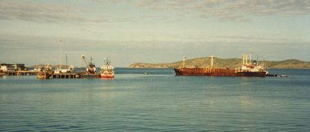
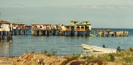
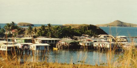
Pictures near Asapa Airport, Papua New Guinea

Upper Kumusi River  view in ORO Northern Province in PNG, Photo by Paul Barker on 28-05-2013 Mount Lamington Volcano, The peak in foreground is the area that got blasted some 20km towards Higaturu Station, More than 3000 Lives were lost during the Eruption in 1951, started with 3 days of Tremors on the 18th to 21st January, When it  Violently Exploded  at 10.40am on 21-01-1951 and a large part of the northern side was Blown away,      in ORO Province  I9N png, Photo by John B. Dikaung on  2-09-2013    

Pictures of Asapa Airport