Kokoda Airport (KKD)

Information about airport - Kokoda Airport, Papua New Guinea

Description Value
IATA
(International Air Transport Association airport code)
KKD
Type Small airport
Local airport code KOK
GPS airport code AYKO
Longitude -8.88467884064
Latitude 147.730957031

Cities near Kokoda Airport, Papua New Guinea

City, country Distance (km)
Port Moresby 88.07 km

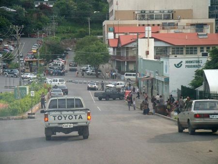
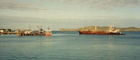
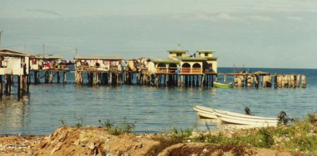
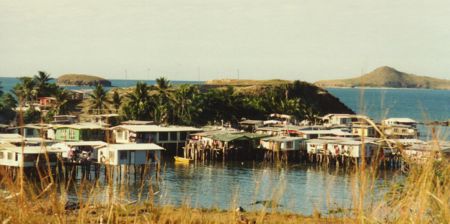
Pictures near Kokoda Airport, Papua New Guinea

Palm oil plantations, Oro, PNG Significant tree at Kokoda Station Kendasusu village, near Kokoda Family block near Kokoda Kebara village, PNG
 
Manuwa Creek crossing near Savaia village, Kokoda PNG Guest house, Foke village, Kokoda PNG Plantation shade Misima guest house, near Kokoda Trail, PNG
 
Kokoda Valley from Hagutawa, PNG Kokoda Valley under mists, from Felai village, PNG Roasting coffee near Kevelo village Kokoda Track near Isurava, PNG Looking to Kokoda
 
Entrance Gateway into SOGERI National High School, up on the Sogeri Plateau, PNG, Photo by Malum Nalu, on 9-02-2013 View after leaving Deniki Village in Northern Province and walking towards KOKODA Station, PNG, Photo by Nori Maniana,  on 9th September 2012 Kokoda Track 1998 Kokoda Station, PNG Under the betel nut palm
 

Pictures of Kokoda Airport