Marienkhof Air Base

Information about airport - Marienkhof Air Base, Russia

Description Value
IATA
(International Air Transport Association airport code)
No IATA code
Type Closed airport
Local airport code -
GPS airport code
Longitude 54.8650016785
Latitude 20.1849994659

Cities near Marienkhof Air Base, Russia

City, country Distance (km)
Kaliningrad 26.96 km
Frauenburg 65.27 km
Nida 72.03 km
Neringa 89.87 km

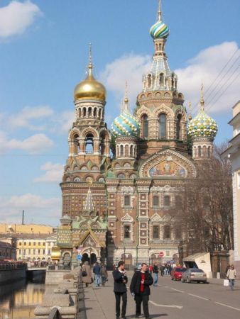
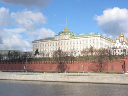
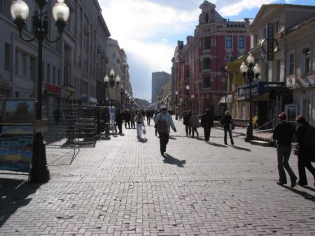
Pictures near Marienkhof Air Base, Russia

Last beams of the sun. - Последние лучи солнца Water splashed in the sun - Брызги воды на солнце The sea after a thunder-storm.  -  Море после грозы. On lake an evening breeze - На озере вечерний ветерок full size is more better..
 
Золотистое с  голубым - Golden with the blue Road along lake  -  Дорога вдоль озера Рапсово поле Yellow maple - Желтый клен Summer panorama near Romanov.- Летняя панорама близ Романова.
 
Colors of spring - Цвета весны Sports complex Svetlogorsk.- Физкультурно оздоровительный комплекс Светлогорский. Bright colours of the sunset - Яркие цвета заката Colorful clouds and their reflections - Цветные облака и их отражение Snow oak - Снежный дуб
 
Winter fairy tale - Зимняя сказка. Стройка (кирха 14 века в Кумачево) Поворот на город Пионерский (ранее Neukuhren) Озеро возле Пионерска |/\|
 

Pictures of Marienkhof Air Base