ディングモから見たヒマラヤ、エベレストが見える

从空中看珠穆朗玛峰

Porters descending icy trail towards Junbesi - Mar 1990

ヌンタラから見た夕日に映えるルクラピーク

High Altitude Farming, Near Junbesi

Rhododendron trees below Lamasura Pass - Mar 1990

Close-up of Nepalese houses - Mar 1990

Dawa's father's house - Mar 1990

A view to the range of the Mahālangūr Himāl - महालङ्गूर हिमाल (a part of Greater Himalayas) behind the forested hills of the Mahābhārat Shrinkhalā - महाभारत श्रृंखला (part of the Lesser Himalaya) in Eastern Nepal. In Nepali it's mostly called Mahālaṅgur Himashriṅkhalā - महालङ्गुर हिमश्रृङ्खला which means "snowy mountain range of the great apes".

从空中看珠穆朗玛峰

Blick von Phaplu nach Süden

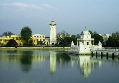
Sallery

The pikey peak with snow

junbesi temple

Himalaya - Monte Everest - Makalu

Rhodondendron on the The Great Himalaya Trail near Junbesi, towards Lamjura La.

Mani Wall near Junbesi.

Salabesi gompa

Solukhumbu,Beni: mice bury the cat

Kongde Ri from pass above Junbesi

On the Jiri - Everest trail (1)

On the Jiri - Everest trail

On the Jiri - Everest trail (Taksindu La)

Loding, the view at Pikey peak in the morning.

On the Jiri - Everest trail (Ringmu)

Pikey pass. A lodge...

Rhododendrons and hoarfrost

Chyangba village

KATMANDU, October 2012

13th Day of the hike. Taksindu Sherpa Buddhist Monastery.

End of the 12th Day. Nunthala. Overnight in the Loggia.

Barefoot teenaged porter carrying 30 kilos and his flipflops - Mar 1990

Lamasura Pass looking towards Junbesi - Mar 1990

Dawa ascending Lamasura Pass - Mar 1990

Teenaged porters carying 30 kilo loads - some barefoot - Mar 1990

Nepal farming

Looking East toward the Dudh Kosi Valley - Mar 1990

Village in the Dudh Kosi Valley - Mar 1990

numbhur, junbesi

タキシンド峠(3071m)から東を望む

Lamjura pass

Runway at Phaplu

TITANS NO HORIZONTE

Solukhumbu, Salleri village

An aircraft in Phaplu airport

Solukhumbu, Salleri village

Thubtencholing Gompa
Photos provided by Panoramio. Photos are under the copyright of their owners.