Leesburg Executive Airport

Information about airport - Leesburg Executive Airport, United States (USA)

Description Value
IATA
(International Air Transport Association airport code)
No IATA code
Type Small airport
Local airport code JYO
GPS airport code KJYO
Longitude 39.0779991149902
Latitude -77.557502746582

Cities near Leesburg Executive Airport, United States (USA)

City, country Distance (km)
Washington, DC 51.3 km
Baltimore, MD 84.88 km
Luray, VA 90.45 km

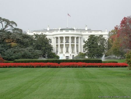
Pictures near Leesburg Executive Airport, United States (USA)

The Barns Milepost 38 on the W&OD Beacon Hill Beacon Hill Dr Barn in Loudoun County
 
GAF Timberline Shingle Roof in Leesburg Warren United Methodist Church- Martinsburg MD Loudoun County Farmland Beacon Hill Community Entrance
 
View of Sugarloaf Mountain from Beacon Hill Sycolin Creek, in Two Creeks park Paeonian Springs VA Tuscarora high school  

Pictures of Leesburg Executive Airport
Do you have a travel question?
Ask your question about travel on our Forum

Photo gallery

United States (USA), Washington, DC