Nat'l Emergency Training Ctr Heliport

Information about airport - Nat'l Emergency Training Ctr Heliport, United States (USA)

Description Value
IATA
(International Air Transport Association airport code)
No IATA code
Type Heliport
Local airport code 7MD2
GPS airport code 7MD2
Longitude 39.6850013733
Latitude -77.3182983398

Cities near Nat'l Emergency Training Ctr Heliport, United States (USA)

City, country Distance (km)
Baltimore, MD 74.46 km
Washington, DC 92.21 km

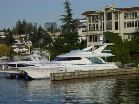
Pictures near Nat'l Emergency Training Ctr Heliport, United States (USA)

Terra Rubra Farm WM Bridge at Keymar (PRR running under) Naylor's Mill aka Spring Grove Mill Corner Keysville - Bruceville Roads Johnsville Road Rail Crossing
 
Terra Rubra re-discovering the world all over again McGinnis Mill Keysville Cows Trackside building on MMID (WM) tracks
 
Keymar Historic Residence there are no sharp shadows when there is no intense sunshine Wall of trash / dangerous MMID at Detour, MD 9/30/2007 Keymar, MD
 
Sharretts Rd. Keymar MD     

Pictures of Nat'l Emergency Training Ctr Heliport
Do you have a travel question?
Ask your question about travel on our Forum

Photo gallery

United States (USA), Washington, DC