Skyline Seaplane Base

Information about airport - Skyline Seaplane Base, United States (USA)

Description Value
IATA
(International Air Transport Association airport code)
No IATA code
Type Seaplane base
Local airport code 21H
GPS airport code 21H
Longitude 48.4832000732422
Latitude -122.684997558594

Cities near Skyline Seaplane Base, United States (USA)

City, country Distance (km)
Victoria, BC 50.74 km
Mount Baker, WA 71.04 km
Vancouver, BC 92.66 km
Seattle, WA 99.9 km

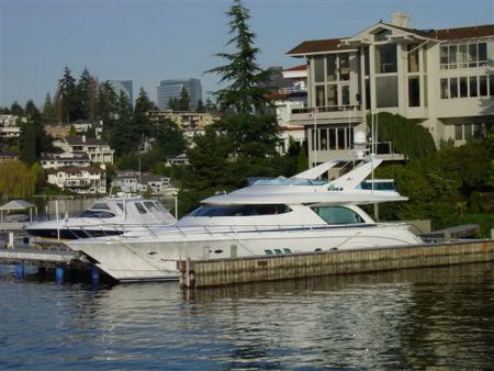
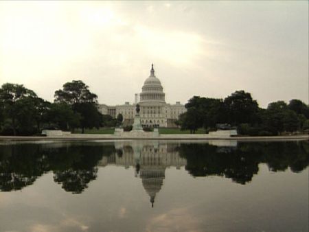
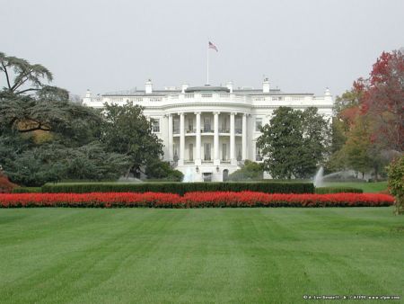
Pictures near Skyline Seaplane Base, United States (USA)

Deception Pass Bridge Puget sound Beach to deception Cap Sante Marina from Cap Sante Park Cranberry Lake Reflections
 
Deception Pass and Pass Island Rosario Beach, Fidalgo Island, Washington Burrows Pass from Washington Park Anacortes, Washington toward Guemes Island and Mt Baker Mt Erie from Lake Campbell (1)
 
Picnic Point - - Washington Park Mt Baker and tug in Rosario Straits James Island State Park in Rosario Strait Do you fancy your own castle in the 'burbs? Lighthouse Point
 
Whimsical interpretation of a downspout... About history Sunset from Anacortes WA Welcome Downtown Anacortes Washington spot cèleste jpb
 

Pictures of Skyline Seaplane Base
Do you have a travel question?
Ask your question about travel on our Forum

Photo gallery

United States (USA), Washington, DC